
Discontinued
$2.64$35.90
Save $33.26
Bulk Pricing
Qty 1 - 2
$2.64 / Unit
Qty 3 - 5
$2.64 / Unit
Qty 6 +
$2.64 / Unit
Deliver to
Add postcode for delivery availability
Store
Choose a store for stock availability
Advanced Digital Distance Calculator
$2.64
Discover more
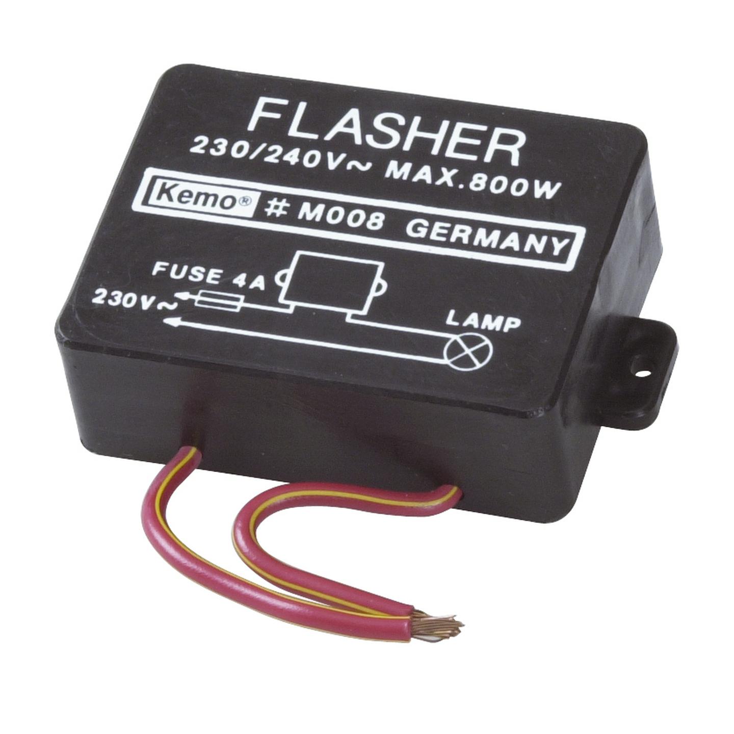
Incandescent Lamp Flasher (Fixed)
CAT.NO: AA0214
$0.91$29.90
Save $28.99
Not Available for delivery
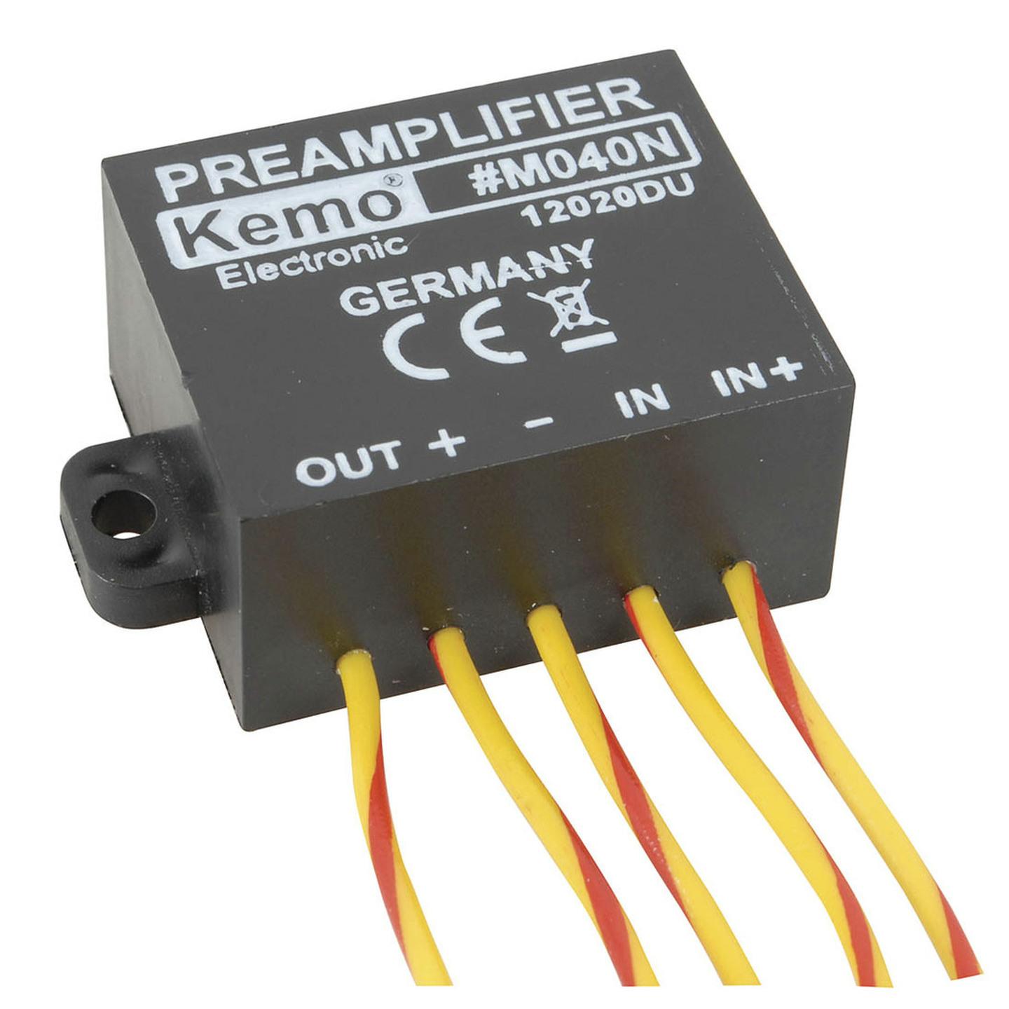
Universal Preamp Module M040N - 1 Channel
CAT.NO: AA0220
$12.56$34.90
Save $22.34
Available for delivery
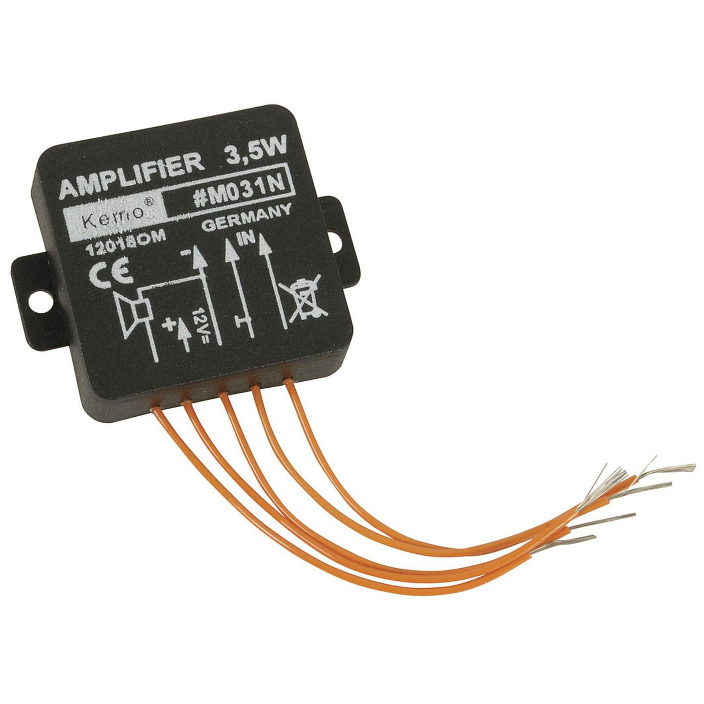
Universal Amp 3.5W Module M031 - 1 Channel
CAT.NO: AA0223
$20.94$34.90
Save $13.96
Available for delivery
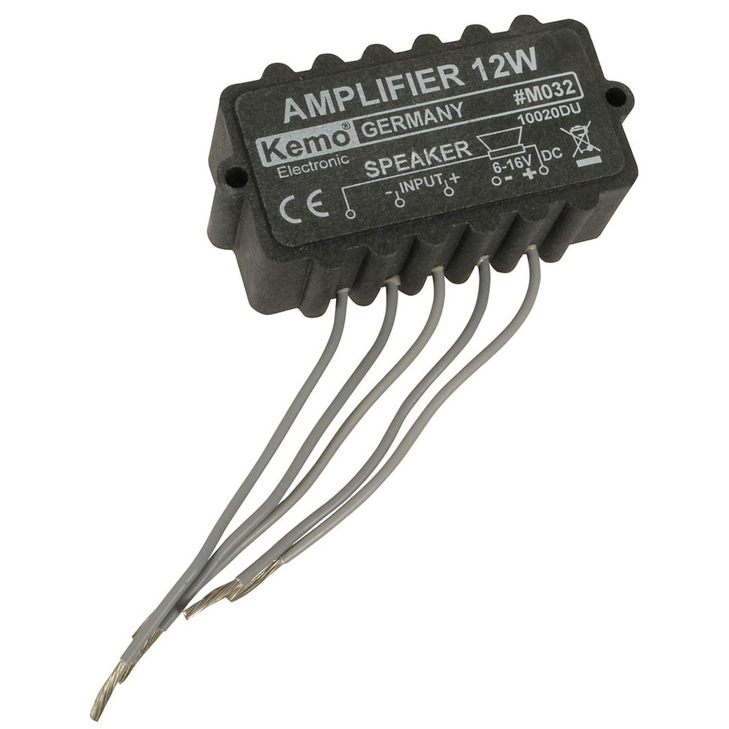
Universal Amp 12W Module M032 - 1 Channel
CAT.NO: AA0225
$14.36$39.90
Save $25.54
Available for delivery